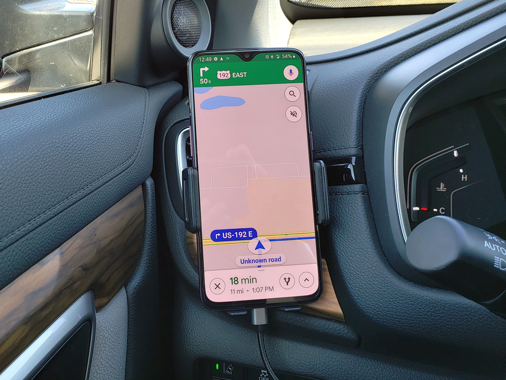
Google Maps users can now access one of Waze's best features.
What you need to know
- Google Maps now shows locations of speed cameras and speed limits.
- The feature was in limited testing in the U.S., but is now rolling out to 40 countries.
- If all of this sounds familiar, it's because Waze already offers a similar feature.
Google Maps is picking up a feature from Waze that lets users view speed limits, locations of speed cameras and mobile speed cameras. The feature was in limited testing in the U.S. and other markets, but is now rolling out widely to over 40 countries.
The speed limit shows up in the bottom left corner of the app, and speed cameras show up as icons on the route. The feature is available for both Android and iOS users, but only Android users will be able to report mobile speed cameras and stationary camera locations. Here's the full list of countries where the feature is available, as noted by TechCrunch:
- Australia
- Brazil
- U.S.
- Canada
- U.K.
- India
- Mexico
- Russia
- Japan
- Andorra
- Bosnia and Herzegovina
- Bulgaria
- Croatia
- Czechia
- Estonia
- Finland
- Greece
- Hungary
- Iceland
- Israel
- Italy
- Jordan
- Kuwait
- Latvia
- Lithuania
- Malta
- Morocco
- Namibia
- Netherlands
- Norway
- Oman
- Poland
- Portugal
- Qatar
- Romania
- Saudi Arabia
- Serbia
- Slovakia
- South Africa
- Spain
- Sweden
- Tunisia
- Zimbabwe
Waze offers more detailed information — including red lights, hazards, road closures, and even accidents — with the platform relying on crowdsourced information. But the interface can be daunting, and with Google Maps integrating speed limit warnings, the feature is now accessible to a much larger audience.

Tidak ada komentar:
Posting Komentar